Koloriang
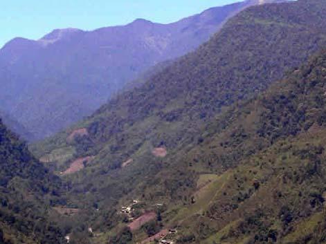
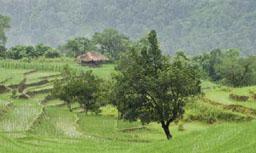
The backdrop of gorgeous mountain summits covered with green trees, hills cut into steps, plush beautiful meadows and meandering rivers is a perfect reason to visit Koloriang. It is a hill station and the district headquarters of Arunachal Pradesh’s Kurung Kumey district. The name ‘Koloriang’ came into existence from the other two words, namely ‘kolo’, which stands for the person’s name owning this entire area and ‘Riang’, which stands for land.
Hamchings borders Koloriang in the north direction and Gilo Domcho as well as Tagi Raktak border in the southern direction. These names mentioned above are the mountain names. Koloriang has two rivers passing through it. The names of the two rivers are the West Papi River and the East Payu River. The source of these rivers is in Hamching. The sight of Koloriang is spectacular, especially during the winter months, when the mighty mountains, which encircles Koloriang, remains snow capped. On the bed of the magnificent Kurung River, Koloriang is located. 1040 meter from the sea level is the elevation of Koloriang.
HOW TO REACH KOLORIANG
By road: Private cars or taxis can be hired to reach here. Since the place is completely isolated, the best option to choose is road transportation.
By rail: Tinsukia is the closest railway station.
By air: Tezpur Airport is situated in Assam and another air terminal is the Lilabari Airport. The former one receives daily flights from Kolkata and Silchar. The Lilabari Airport has flights from Guwahati.


