Changlang
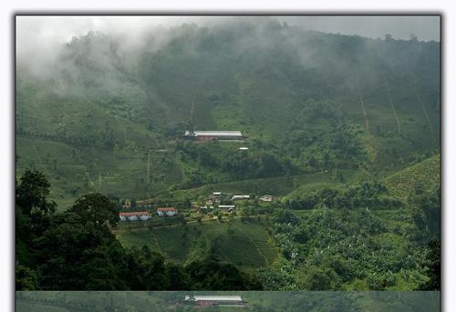
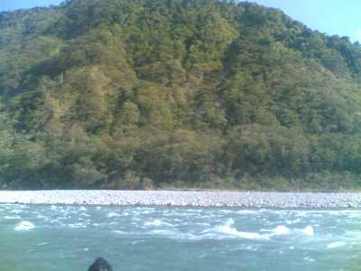
Changlang is a district in the Indian state of Arunachal Pradesh. The elevation of this place ranges from 200 meters to 4500 meters above the mean sea level. Changlang is covered in plush dense forests of gorgeous green tress and surrounded by breathtakingly beautiful hills. Many a number of rivulets pass through the Patkai Mountain range, which is located in the boundary of Myanmar in the northeastern side of India. Numerous attractive locations are there for tourists to visit. Tourism is one of the major contributors to the economy of the place.
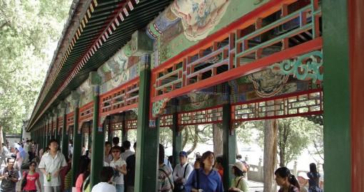
TOURIST PLACES IN CHANGLANG
Namdapha: This place is a Tiger Reserve as well as National Park. The area of the place is 1985.23 square kilometers. The place is surrounded by plush green dense forests and thus creates a wild atmosphere. The park contains a wide variety of animals and plants. This reserve park is located on the boundary between the two countries namely India and Myanmar. From Miao, this national park is situated just a few kilometers away. The status of a Tiger Reserve was bestowed upon this national park in the year 1983.
World War II Cemetery: This cemetery is situated in the Stillwell Road, which is located in Changlang District’s Jairampur-Nampong road. After carrying out excavation, a huge burial ground was found. The ground contained around 1,000 graves, where allied soldiers were buried. Major part of the people buried here are Chinese, Kachins, Indian, British and American soldiers, who died during the World War II. This place is located at a distance of 6 Kms from the town of Jairampur, 39 Kms from Ledo and 24 Kms from Pangsau Pass.
Stilwell Road: During the time of the World War II, this Stillwell Road had been constructed by the Americans. This road starts from Ledo in the state of Assam to Burma Road linking to Kunming, China and also passes through places such as Lekhapani, Jairampur, Nampong and Pangsau pass. It also travels through the altitudinous Patkai Range and then comes out at Shindbwiyang and again in Myitkyina. After this the road passes through Upper Chindwin’s broad bowl, links the valleys of Hukawang and Moguang, and follows the path to Bhamo and then to the Burma Road which links the Kunming in China’s Yunnan Province. The initial name of the road was ‘Ledo Road’; however later it got renamed to Stilwell Road, after General Joseph Warren Stilwell.
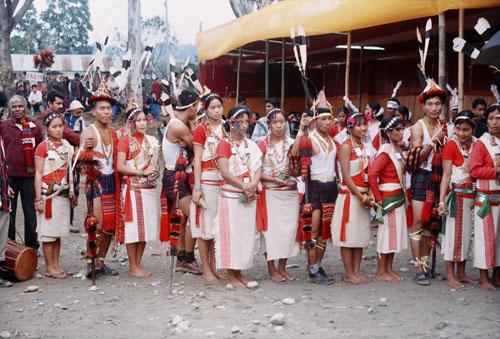
Tibetan Refugee Settlement Camp, Miao: The distance between the Miao Township, which comes under the district of Changlang, and the Choephelling Tibetan Refugee Settlement is a mere 4 Kms. It is supposed to be one of the most ancient locations, where the Tibetan regufees settled. Fine carpets are manufactured by this camp and a major portion of the manufactured carpets are sold in the international market as well. Cotton yarn and wool are the main materials, which are sourced from a place called Panipat in the state of Haryana and some of it are sourced from New Zealand as well. These carpets are sold in the international market at the price of Rs. 190 per square meter.
As many as 500 families constituting of 2800 members, dwells here. It is considered to be one of the 45 settlements in India and one of the 75 in the whole world. One of the crowd pulling feature in this camp is the Buddhist monastery, which is located right in the heart of the town.
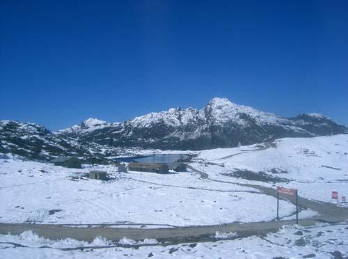
Lake Of No Return: From Nampong, the Lake of No Return is located at a distance of 12 Kms. One standing on the Pangsau Pass can see this renowned and historical lake, which is situated in the Myanmar side. Numerous war planes have gone down into this lake during the time of the World War II. This lake was opted by the Allied Pilot in case of emergency situations such as air crash and as a result many a number of fighter planes deceased in the lake.
HOW TO REACH CHANGLANG
By Air: The closest air terminal is located in Mohanbari, Dibrugarh, Assam. It is set at a distance of 136 Kms from the airport.
By Rail: Tinsukia Railway Station is the closest railway station. The distance between this place and the railway station is 96 Kms.
By Road: The roads are well maintained, which connects the Changlang Township to other places. From Dibrugarh, Changlang is 140 Kms away, from Tinsukia, it is 95 Kms away and from Margherita it is 44 Kms away, while the distance between Miao and Changlang is 110 Kms.