| Home | City Bus | Maps | Villages | Cities | Rail | Tourist Places | School | College | Pin Codes | Corona Cases Count |
| Distance Calculator Bus Services IFSC Codes Trace Mobile Number Weather Search Place Trace IP Available Cash ATM/Banks Locate Polling Booth Report an Error contact People Surnames |
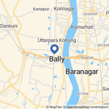
Bally
How To Reach
Bally Live Weather
Temperature: 35.0 °C
haze
Humidity: 71%
Wind : 3.6 mt/sec towards E
StationName : "Krishnapur"
observed on 48 Mins Back
Temperature: 35.0 °C
haze
Humidity: 71%
Wind : 3.6 mt/sec towards E
StationName : "Krishnapur"
observed on 48 Mins Back
Bally Weather Forecast for Next 5 days
22-05-2026
29.7°C to 37.6°C
broken clouds, scattered clouds, clear sky
29.7°C to 37.6°C
broken clouds, scattered clouds, clear sky
23-05-2026
29.5°C to 39.6°C
clear sky, few clouds, scattered clouds
29.5°C to 39.6°C
clear sky, few clouds, scattered clouds
24-05-2026
29.7°C to 38.3°C
broken clouds, scattered clouds, clear sky, light rain
29.7°C to 38.3°C
broken clouds, scattered clouds, clear sky, light rain
25-05-2026
30.1°C to 38.3°C
broken clouds, scattered clouds, clear sky
30.1°C to 38.3°C
broken clouds, scattered clouds, clear sky
26-05-2026
28.7°C to 37.3°C
broken clouds, scattered clouds, clear sky
28.7°C to 37.3°C
broken clouds, scattered clouds, clear sky
Places Near BY
Places From Search
Howrah Sadar subdivision Howrah Sadar subdivision , is a subdivision of the Howrah district in the state of West Bengal, India. It consists of Howrah municipal corporation and Bally municipality and five community development blocs: Bally Jagacha, Domjur, Panchla, Sankrail and Jagatballavpur (...)
|
|
City Name : Bally
State: West Bengal District: |
Near By major CitiesKolkata 11 KM near Ranchi 356 KM near Bhubaneswar 415 KM near |
Near By Air PortsNetaji Subhas Chandra Bose Airport 11 KM near Ranchi Airport 355 KM near Singerbhil Airport 365 KM near Bhubaneswar Airport 418 KM near |
Near By Tourist PlacesKolkata 11 KM near Howrah 11 KM near Alipore 16 KM near Raichak 61 KM near Shankarpur 63 KM near |
Near By Local CitiesBally 0 KM near Kamarhati 3 KM near Baranagar 4 KM near Panihati 5 KM near |
Near By DistrictsHowrah 10 KM near Kolkata 16 KM near 24 Paraganas North 17 KM near 24 Paraganas South 22 KM near |
Near By RailWay StationBally Rail Way Station 0.5 KM near Bally Halt Rail Way Station 0.5 KM near Uttarpara Rail Way Station 1.0 KM near Dakshineswar Rail Way Station 2 KM near Kolkata Rail Way Station 8 KM near |